Blog / Municipal & records
The Municipal Guide to Digitizing Legacy Burial Records
Most municipal cemeteries are still run from a paper interment book, a filing cabinet, or a hand-drawn plot map that predates anyone currently on staff. Here's a practical path from that to a searchable digital record — and what to actually check before you commit budget to it.
Why this usually stalls at the city level
Digitizing a cemetery's records is rarely blocked by lack of interest — parks and rec staff and city clerks generally know the paper system is a liability. It stalls on three specific things: a quote-only sales process that doesn't fit a public procurement timeline, a per-acre or professional-onboarding cost nobody budgeted for, and uncertainty about what happens to decades of existing paper records during the switch.
All three are worth resolving before you bring a proposal to a council or board, because they're the questions that will come back to you in the approval meeting.
What "digitizing" actually means in practice
Three separate things get bundled under "digitizing a cemetery," and they don't all have to happen at once:
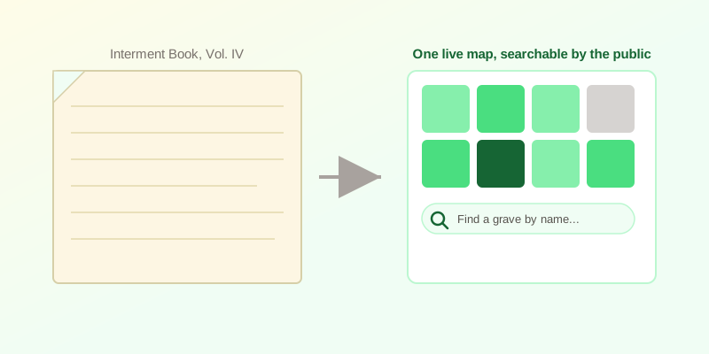
- The map. An uploaded image or scanned PDF of your existing plot plan becomes an interactive map in the browser, with plot boundaries drawn over it and automatic detection assisting on grids that are clean enough to read.
- The records. Interment history, section/row/plot codes, and burial-rights or lease data move from paper or a spreadsheet into structured records tied to a plot, importable from CSV rather than re-typed by hand.
- Public access. Once records exist digitally, they can be exposed as a public grave and genealogy search — the single change that removes the most repeated phone-and-counter work from staff time.
You can stop after the map, stop after the records, or go all the way to public search. Each step stands on its own.
A checklist before you write the proposal
- Is pricing public? If you can't find a number without a demo call, budgeting it into a council agenda is harder than it needs to be. CEMETERRA publishes Free, Standard ($49/month) and Pro ($99/month) tiers on its pricing page — no quote required to know the cost.
- Is there a per-acre or setup fee? Ask directly. Map upload and plot drawing are part of the product itself here, not a billed professional service.
- Can existing records be imported, or do they need re-entry? CSV import for plot and interment data avoids a manual re-keying project for years of paper history.
- Does it export to your GIS system? If your public works or planning department already uses QGIS or ArcGIS, GeoJSON export means cemetery data isn't a dead end walled off from the rest of your municipal GIS.
- Who can use it in the field? A grounds crew mobile view and mobile GPS plot capture matter if maintenance staff, not just office staff, need to work from the same records.
Where the staff-hours savings actually come from
The recurring cost that never shows up in a line item is staff time spent answering "where is my relative buried" over the phone or at the counter, one lookup at a time. A public grave search page turns that into a self-service page the public can use directly, with a QR memorial page at each result for family and genealogy visitors. Walk-to-grave GPS navigation on a phone extends that from "here's the section" to "here's the exact plot," which matters most for large or old sections where signage hasn't kept up with turnover.
What this doesn't solve
Digitizing records is not the same as regulatory compliance. A trust fund ledger or a regulation-tracking log helps a board or clerk keep accurate, reconstructable numbers — it is a records and reporting tool, not a substitute for your accountant's or state regulator's specific filing requirements. Confirm those requirements with your own counsel or auditor regardless of which software you choose. See our perpetual care trust fund explainer for more on that distinction.
CEMETERRA is built to fit a public-sector evaluation process: published pricing, no mandatory sales call, and self-serve setup starting from a map you already have. See the map preparation guide if you're starting from a scanned or photographed plan, or the full feature list for everything included at each tier.
Not ready to create an account yet? Send us your existing map and we'll email you a free preview within 24 hours — no commitment required.
If you'd rather talk it through first — including as part of a GIS survey, GovTech consulting engagement, or funeral-director referral — see our partner program, or create a free account to see your own records on a live map.